Species of National Environmental Significance maps released
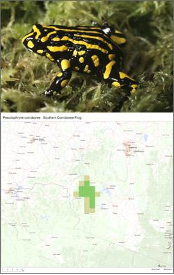
The Australian Government Department of the Environment has released more than 1,700 new maps and datasets that local communities can use to find threatened species in their area. The maps show known and predicted distribution of listed species, including areas …
Species of National Environmental Significance maps released Read more »